Caudell Spatial Intelligence
Uncompromising 3D Reality Capture
Uncompromising 3D Reality Capture
At Caudell Spatial Intelligence, we transform real-world sites into precision 3D models. Whether it's a golf green, a heritage landmark, or a construction site, our captures are built to do two things at once: empower confident decisions and showcase striking detail.
With a decade of experience producing as-builts on complex construction sites, we know how costly bad information can be and how transformative clarity is. Our approach blends advanced photogrammetry, computer vision, and mathematical rigor to deliver models that are high-quality, reliable, visually compelling, and ready when the stakes are high.
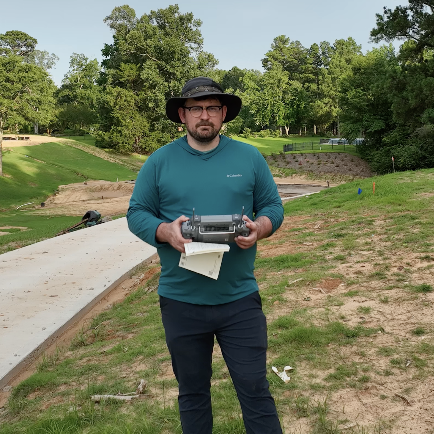
Founder, Caudell Spatial Intelligence
Professional-grade aerial and ground collection with strict protocols.
State-of-the-art algorithms for high-fidelity 3D reconstruction.
Artifact removal, alignment, and thorough quality checks.
Usable outputs: textured models, georeferenced imagery, 3D meshes, and interactive web viewers.
Boston-based, serving projects nationwide. From major city developments to remote landscapes, we bring precision modeling wherever spatial intelligence is needed.